-
Wind Sensing
Sniffer4D Multi-gas Sensing
Sniffer4D GHG (CO2 & CH4) Sensing
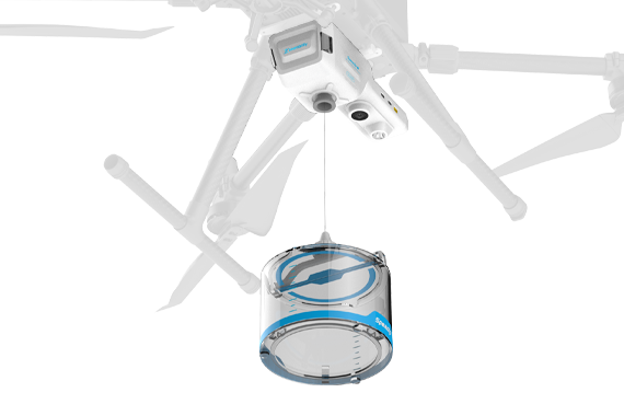
Speedip V2 Smart Water Sampling
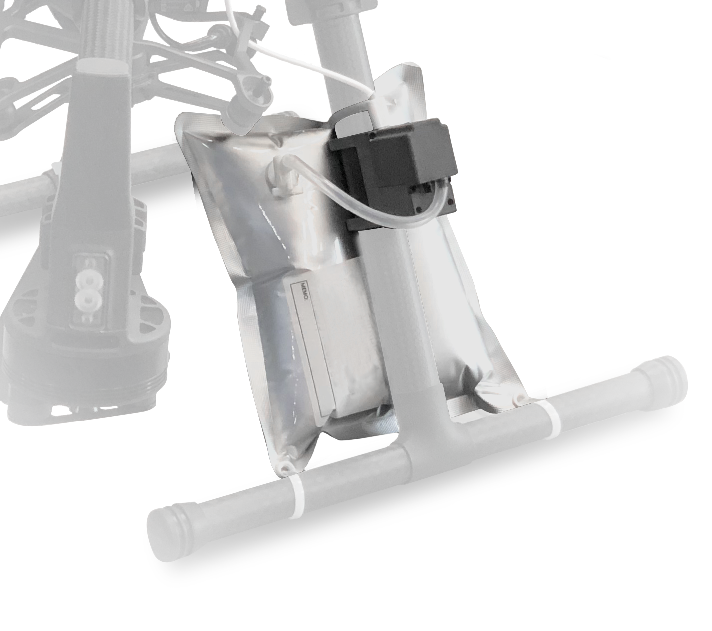
Aerial Gas Sampling
Nuclear Radiation Sensing
Versatile & Powerful Generalists
Towards Carbon Neutrality
No More Rope Tangling & Full Automation
Close the "Sense→Sample→Lab Test" Loop
Sense while Flying
Assess the Scene from a Safer Distance
Ship Fuel Sulfur Content (FSC) Estimation
High FSC Ship Quick Screening
UAV-based Environmental Data Acquisition Solutions
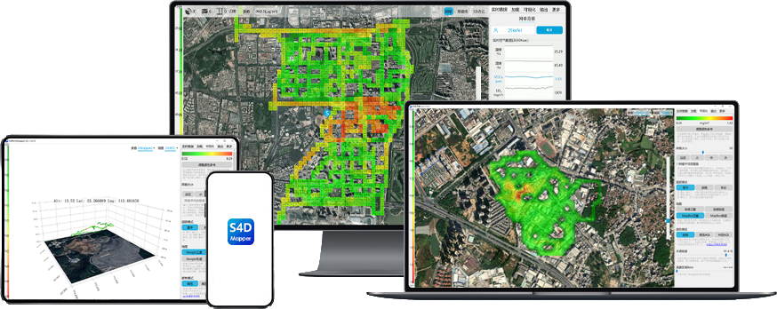
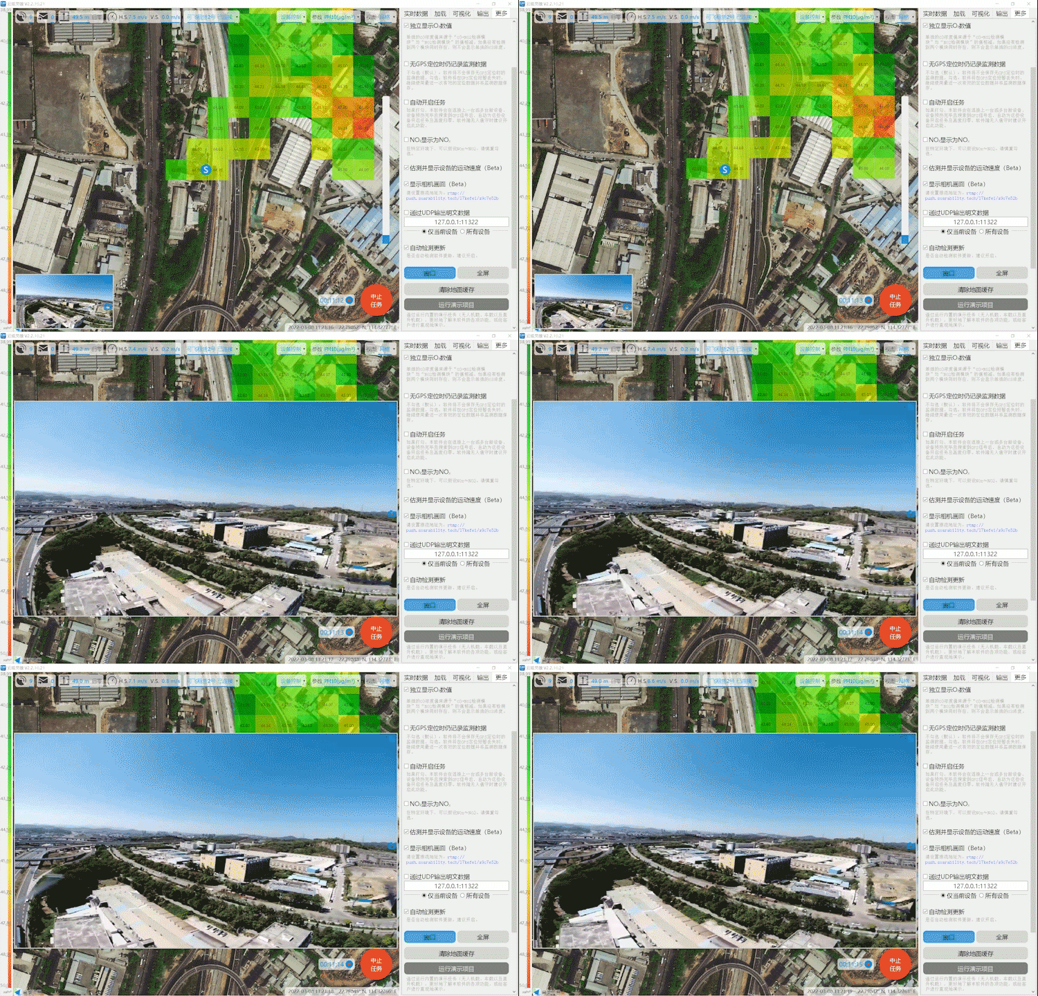
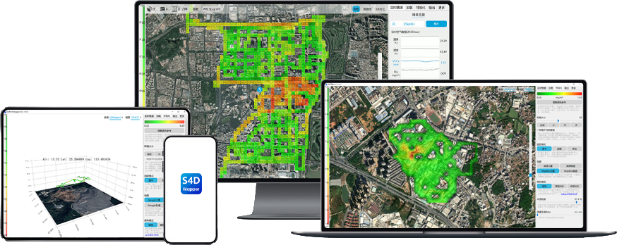
Sniffer4D Mapper visualizes and analyzes data from Sniffer4D in real time, provides intuitive information
(e.g. 2D/3D pollution distribution, PDF mission reports) for decision makers.
Sniffer4D Mapper-The Data Visualization and Analytical Software
Sniffer4D Mapper visualizes and analyzes data from Sniffer4D in real time, provides intuitive information (e.g. 2D/3D pollution distribution, PDF mission reports) for decision makers.
Sniffer4D Mapper
The Data Visualization and Analytical Software
· Analyze data from Sniffer4D in real-time.
· Generate point cloud air pollution heat map.
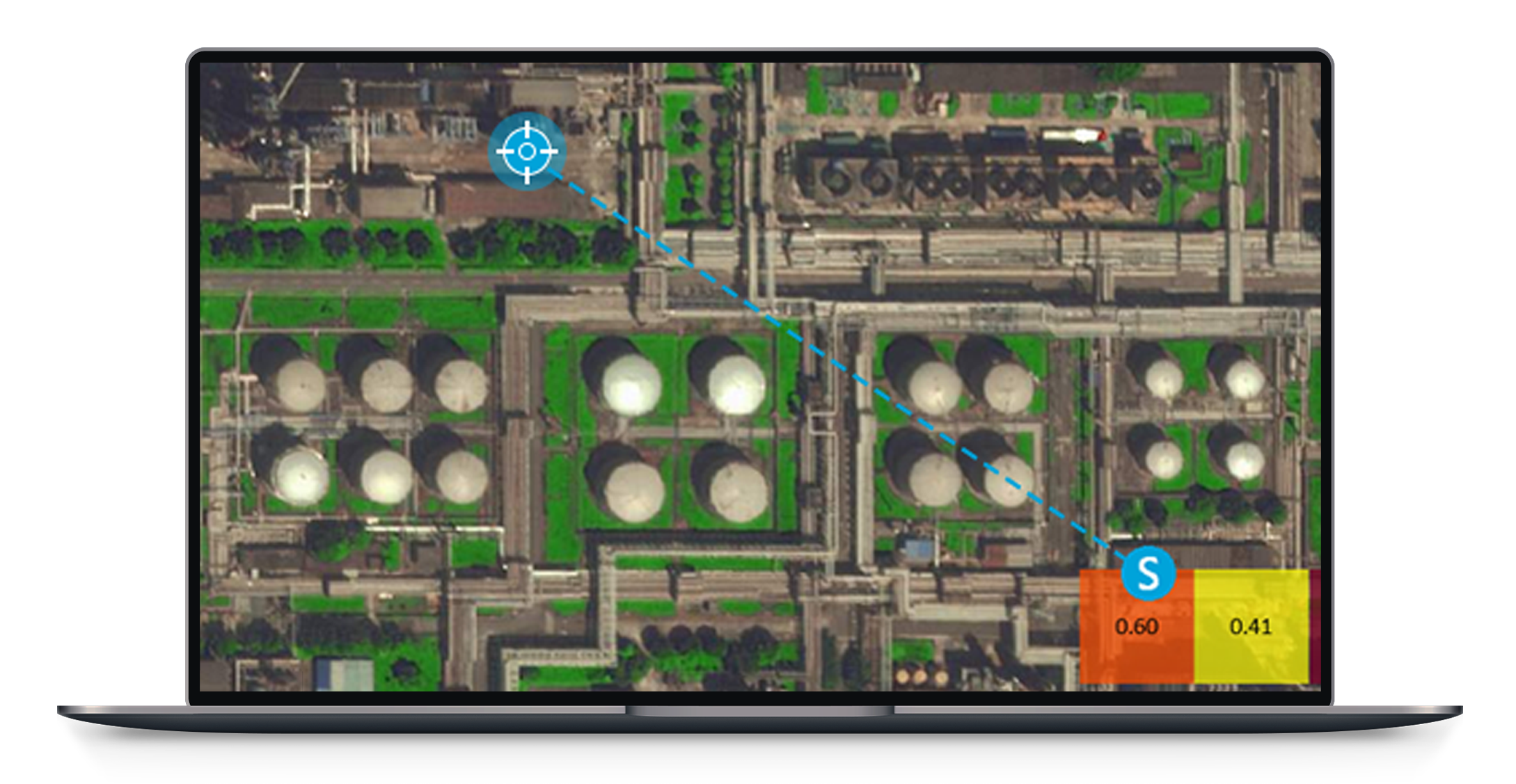
· Support target setting & navigation.
· Display real-time UAS camera view.
· Support screen recording during missions.
· Load historical data for analysis and review.
· Load orthophoto (GeoTiff, WGS84) into the software.
· Load geo-tagged photos.
· Mission report (PDF) generation at one-click.
· Export mission files as a datasheet (CSV).
· Connections with multiple Sniffer4Ds.
· Three built-in demo missions
(drone mounted, car mounted, and helicopter mounted).
· Output decoded Sniffer4D data (json) using MQTT and UDP.
· Automatic software update.
The Software Supports
· Support loading an orthophoto (GeoTiff, WGS84) and displaying it under the
concentration heat maps.
· Support loading geo-tagged photos and showing their locations in the concentration
heat map.
· Support automatic PDF mission report generation.
· Support exporting mission files as a CSV datasheet.
· Track and display multiple Sniffer4Ds simultaneously.
· Display the detailed working status of internally-mounted sensing modules inside the
Sniffer4D. The user can calibrate the sensitivity (slope) and zero point (intercept) of each
module.
· Output decoded Sniffer4D data (json) using UDP.
· Unlimited software installations and automatic software updates.
Sniffer4D Mapper Detailed Specifications
· Display real-time working status of Sniffer4D, including device name, GNSS satellite
number, relative altitude, volume of data to be retrieved. Control Sniffer4D V2's high-
brightness warning LEDs, gas sampling module, and other functionalities.
· Retrieve unreceived data during communication breakdown.
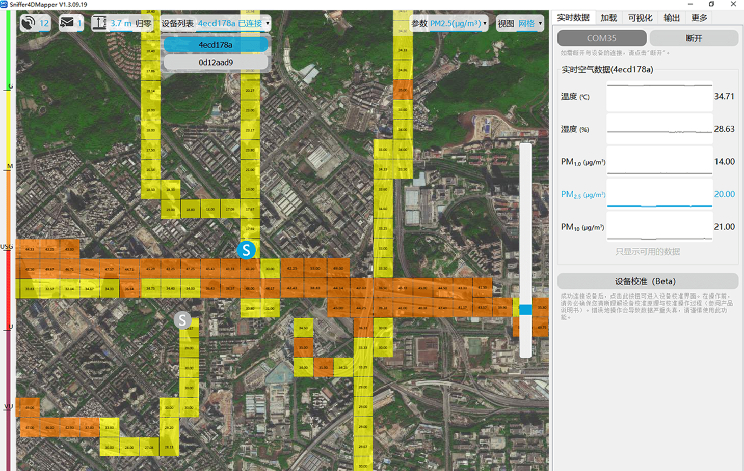
· Display real-time measurement values and their time series graphs.
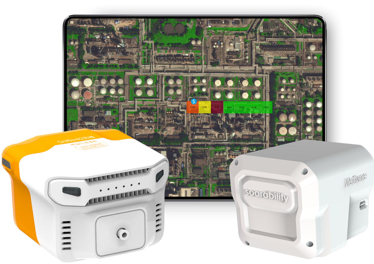
· Generate real-time 2D grid gas/PM concentration heat map.
· Generate real-time 2D isoline gas/PM concentration heat map.
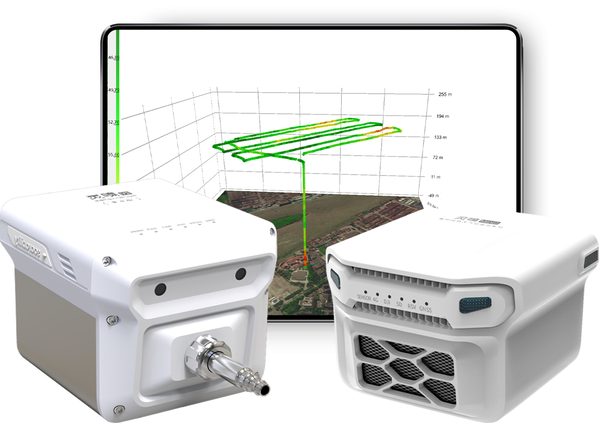
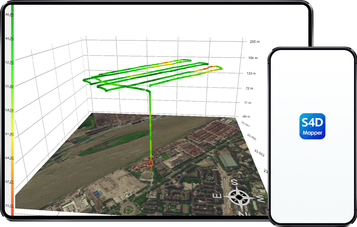
· Generate real-time 3D point cloud gas/PM concentration heat map.
· Display real-time drone camera view and save geo-tagged screenshots ("Video
Streaming Service" needs to be selected).
· Estimate Fuel Sulfur Content (FSC) using proprietary inversion algorithm.
· Support loading multiple historical data files into the software for post analysis.
Downloads
Users can download Sniffer4D Mapper and run its built-in demo missions for intuitive experience of how Sniffer4D system works before purchase.
This website has been migrated to
'soarability.com'
After loading is complete, it will automatically redirect to the new website.
If you are unable to open it,
you can contact Soarability directly at the following email address
inquiry@soarability.com

